
LOUISIANA STATEMesonet
Retrieving Remote Node Metadata from State Registry...
Station Record
Recent 12-Hour Meteorological Time Lapse
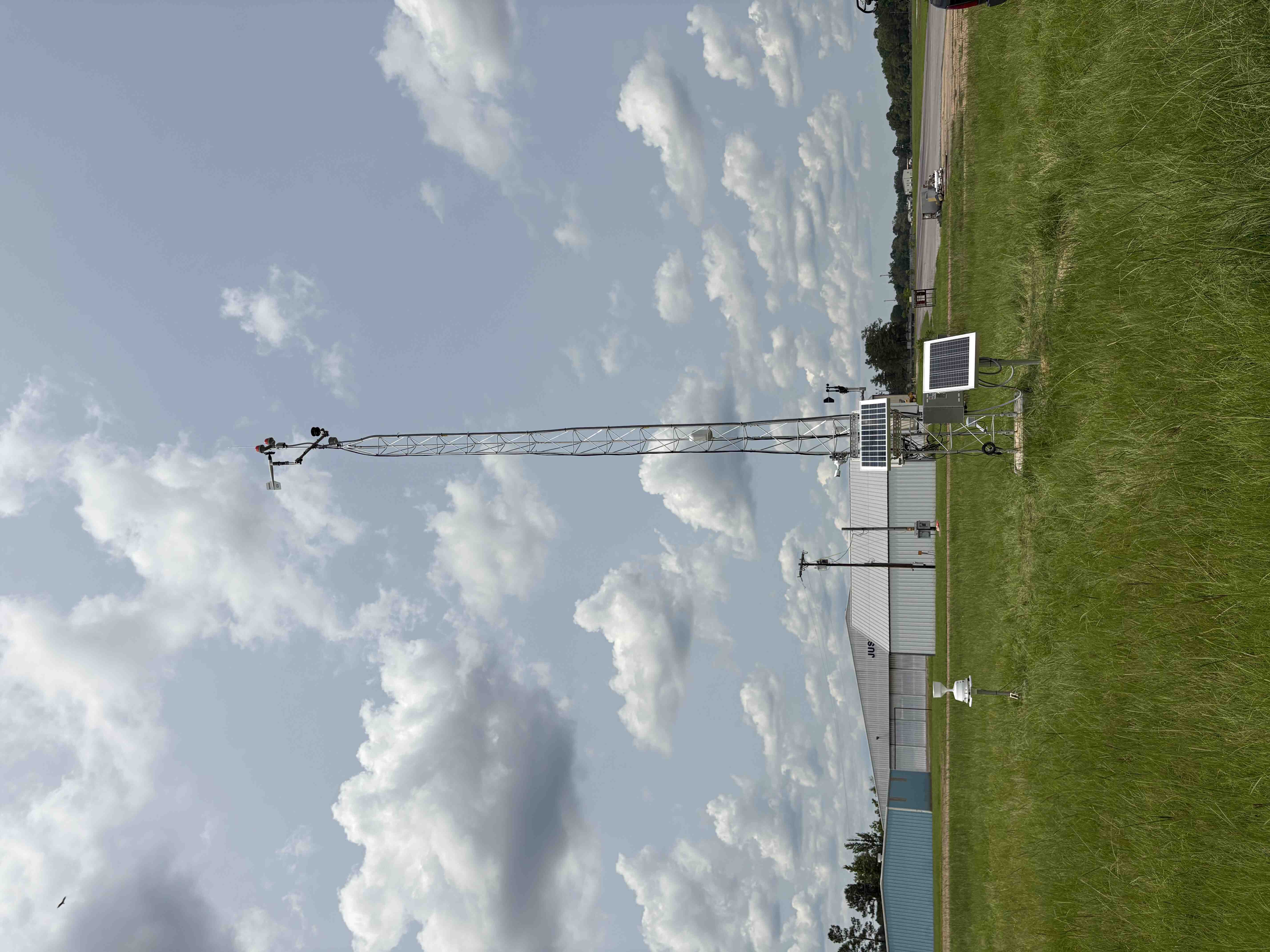
31.66897°N, -92.15916°W
211 FT Above Sea Level
2025-06-02
Parish Property - Airport
SHV - Shreveport, LA
Station #12
La Salle
Jena, LA
Flat, semi-sheltered site with airport hangers to the north and trees on southern/western sides